Continents and Oceans Mini Book
Ask a room of 4th or 5th graders to name the seven continents and the five oceans, and you will hear a few confident answers, a few guesses, and at least one student who is sure Africa is a country, teacher friend. They have seen a world map every year since kindergarten, and the names still blur together.
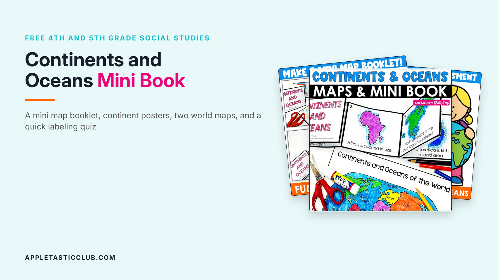
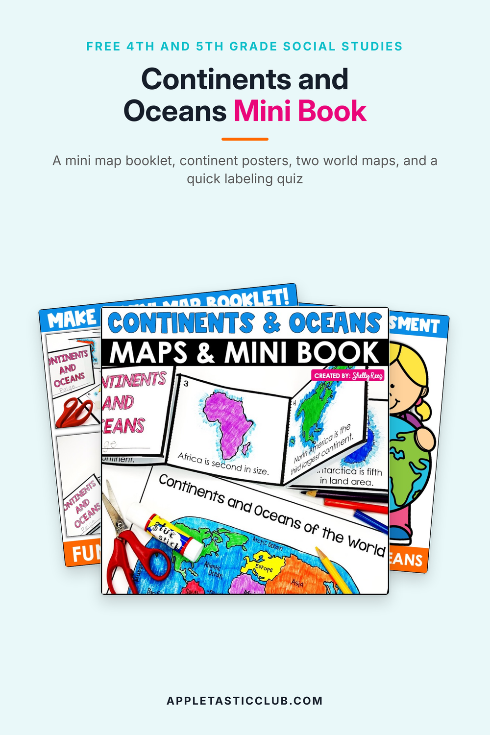
This one is ours, from the Appletastic Club, and it is free: the Continents and Oceans Mini Book. Students build their own little map booklet that puts the continents in order from largest to smallest, color a poster for each continent, then show what they know on a world map. Here is what is inside and five ways to use each part, so you can print it and go.
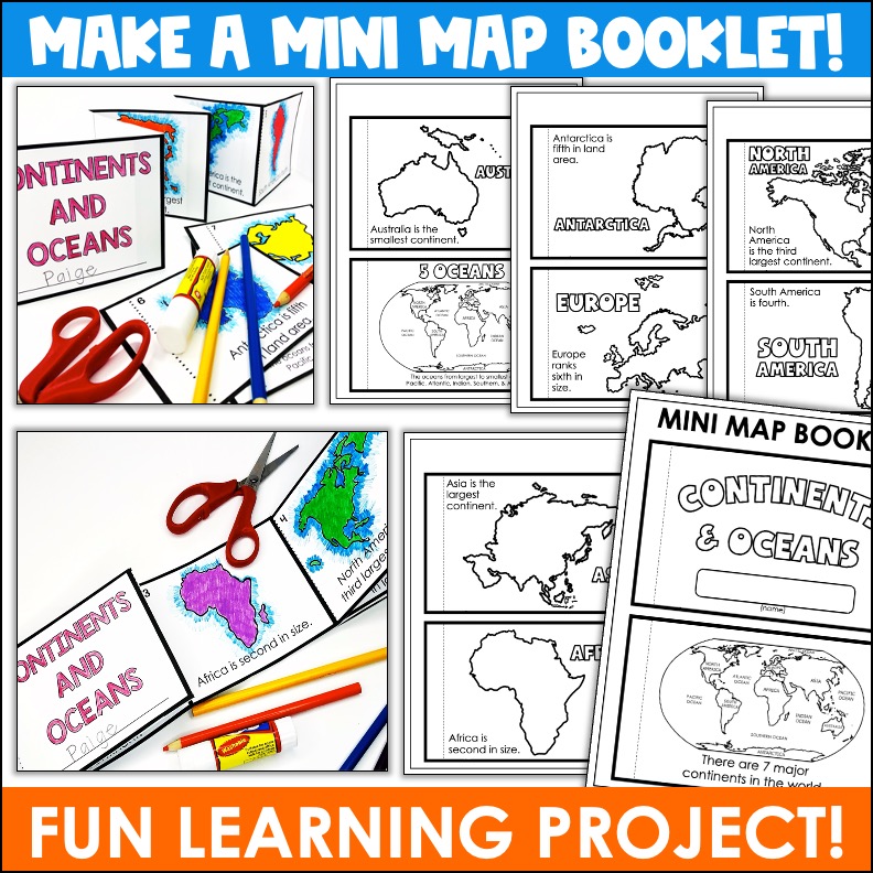
A mini map booklet that puts the continents in order
The booklet has nine small pages and a cover with a line for the student's name. Page 1 is a world map with the oceans labeled: there are 7 major continents in the world. Pages 2 to 8 give one continent each, from largest to smallest, with an outline map and one sentence: Asia is the largest continent, Africa is second, North America is third, South America is fourth, Antarctica is fifth in land area, Europe ranks sixth, and Australia is the smallest. Page 9 names the oceans from largest to smallest: Pacific, Atlantic, Indian, Southern, and Arctic.
Students color the pages and cut on the solid lines. Then you choose: staple the pages along the left edge like a regular book, or glue the tabs and fold it accordion style so the whole world stretches out across the desk.
Five ways to use the mini booklet:
- A first-week-of-geography lesson: build the booklet together, one page at a time, with a world map projected.
- Make it the accordion version and stand it up on desks, so students see the continents shrink from Asia to Australia.
- Glue the stapled version into social studies notebooks as a reference for the rest of the unit.
- A sub plan: the directions fit on one page, and coloring and cutting fill a whole block.
- A quick quiz game with the finished booklets: call out a rank (third largest) and have students hold up the right page.
A coloring page and poster for every continent
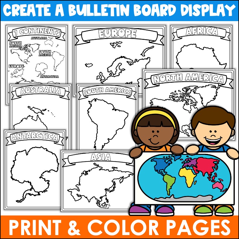
Eight full pages: a 7 Continents map with every continent labeled, then one page each for Africa, Antarctica, Asia, Australia, Europe, North America, and South America, with the name in a banner and a big outline map to color. Students meet each continent's shape up close, and the pages double as a classroom display.
Five ways to use the coloring pages and posters:
- A continents bulletin board: one colored poster per continent, with the 7 Continents map in the middle.
- Hand one continent to each small group to color and present one fact about it.
- Color the matching poster on the day you teach each continent.
- Early finishers: keep a stack in the fast-finisher bin all unit.
- Print them small, two to a page, for social studies notebooks.
Two world maps and a quick labeling quiz
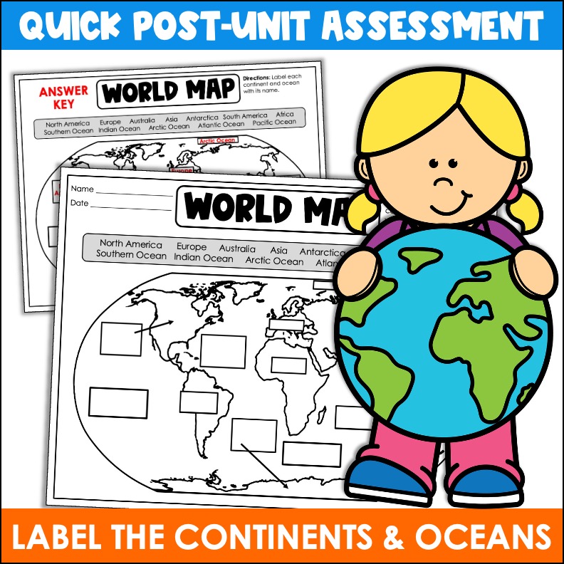
The first world map is for coloring: the continents green and the oceans blue, with the oceans labeled. The second is the quiz, with a line for name and date, a word bank of the 7 continents and 5 oceans, and a box for each one to label. The answer key comes right after it.
Five ways to use the world maps:
- A pre-test and post-test: give the labeling map before the booklet and again after, and let students see how far they came.
- The coloring map as a warm-up the day before the quiz.
- Fold the word bank under for a harder version once students are ready.
- Partner check: students trade maps and grade each other with the answer key.
- A beginning-of-year review in 5th grade, to see who remembers the continents from last year.
Five quick tips for an easy continents and oceans review
A few minutes here and there keeps the map fresh long after the mini books go home. None of these needs more than a world map:
- Two-minute map warm-up: project a blank world map, point to one spot, and have students write the continent or ocean on a whiteboard. Hold them up, check, and point to the next one.
- Toss a globe: pass an inflatable globe or beach ball around the room. Whoever catches it names the continent or ocean under their right thumb.
- Countries or continents? Read a mixed list out loud (Brazil, Africa, Japan, Asia, Canada, Europe), and students stand for a continent and stay seated for a country. Save Australia for last, since it is both.
- Chant the order: say the continents from largest to smallest (Asia, Africa, North America, South America, Antarctica, Europe, Australia) while pointing on the map, then the oceans (Pacific, Atlantic, Indian, Southern, Arctic). Do it every morning for a week.
- Put the world in your other lessons: when a read-aloud, a science video, or a news story happens somewhere, find it on the classroom map and name its continent before you move on.
Here is the free file
Click it. It opens on the downloads page. No email needed.
This mini book is from the Club's geography resources
- Continents and Oceans Mini Book (this one, in the 4th and 5th Grade Clubs)
- Continents and Oceans Unit
- Continents and Oceans Posters
- Continents and Oceans - Digital
- 50 States Unit
- U.S. Regions: Northeast, Southeast, Midwest, Southwest, and West
See everything in the Club, grade by grade
Want every 4th and 5th grade social studies resource right now?
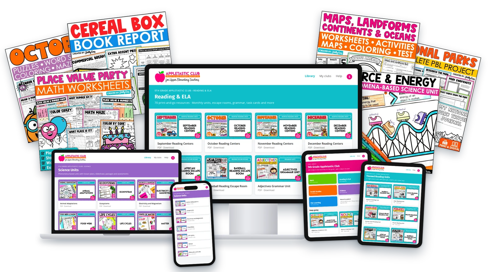
The Appletastic Club has over 1,500 resources for 4th and 5th grade teachers: math, reading & ELA, social studies, science, and all the fun stuff, with new ones added regularly. Find what you need, print it, teach it.
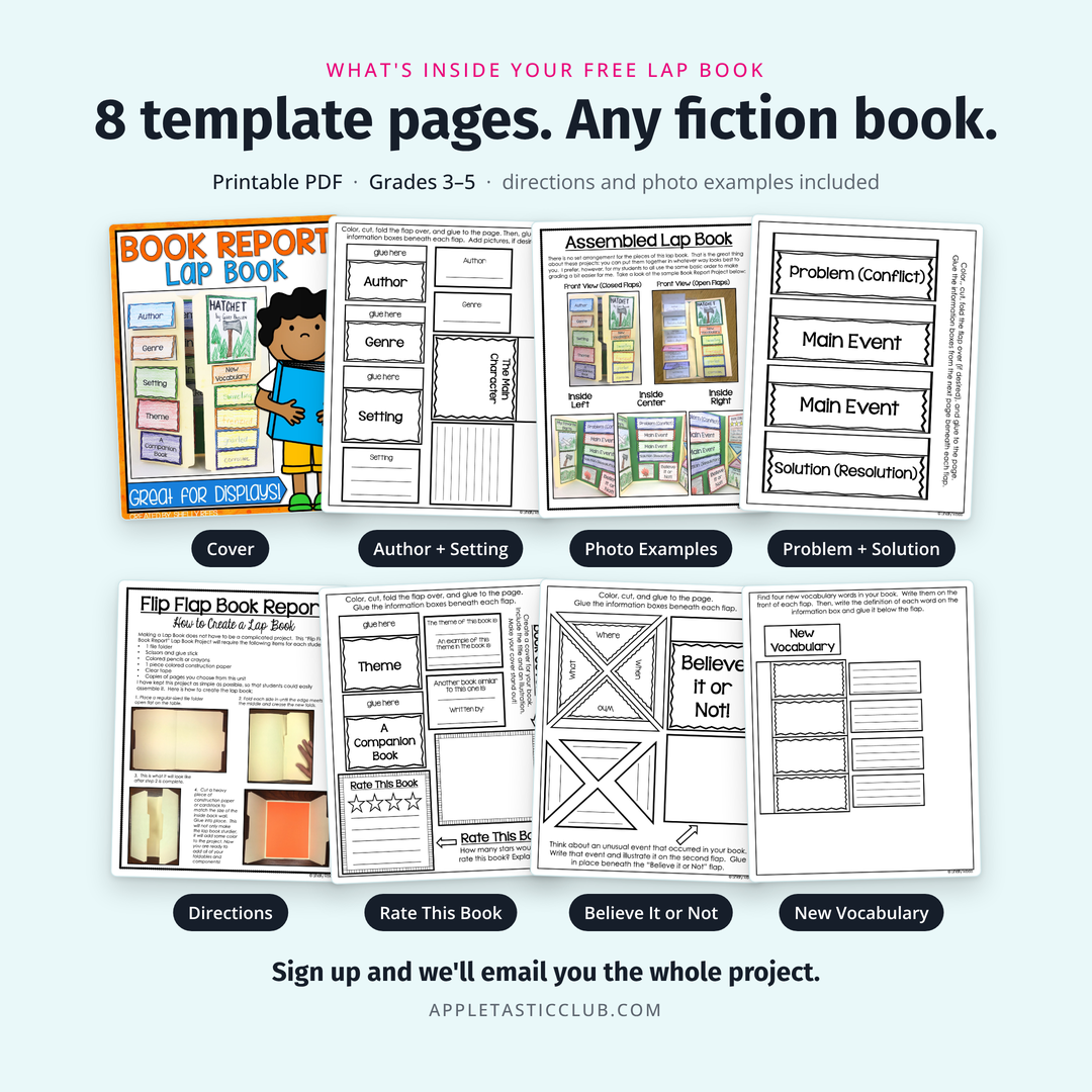
Get the Book Report Lap Book. Free.
A complete book report project for grades 3 to 5, sent to your inbox. It works with any fiction book, and it comes from the same Club this one did.
Pin this for later
Want every resource, ready to teach?
The Appletastic Club has over 1,500 resources for 4th and 5th grade teachers: math, reading & ELA, social studies, science, and all the fun stuff. Find what you need, print it, teach it.
Get the Book Report Lap Book. Free.
A complete book report project for grades 3–5, sent to your inbox. It works with any fiction book.
We are teachers. Your email is safe with us.